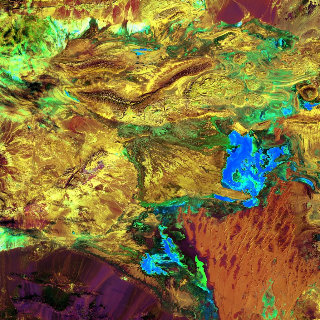
Geospacial Subsurface Intelligence
Temple Pershing Mining Company use extensive processes during explorarion. One being a geospatial machine learning platform that fuses six independent satellite layers: structure (DEM), iron oxide, clay, thermal, gravity, and radiometrics. It normalises each layer, applies weighted fusion, and extracts the top-5 local maxima as ranked targets.
The output is a prospectivity heatmap and a Google Earth KML with colour-coded pins. proprietary 6th layer manual cross-correlation using public geological records, satellite imagery, and company reports is applied to confirm or reject each anomaly.
This two-stage process eliminates false positives and delivers high-confidence targets. Saving time, drilling costs, and false leads.
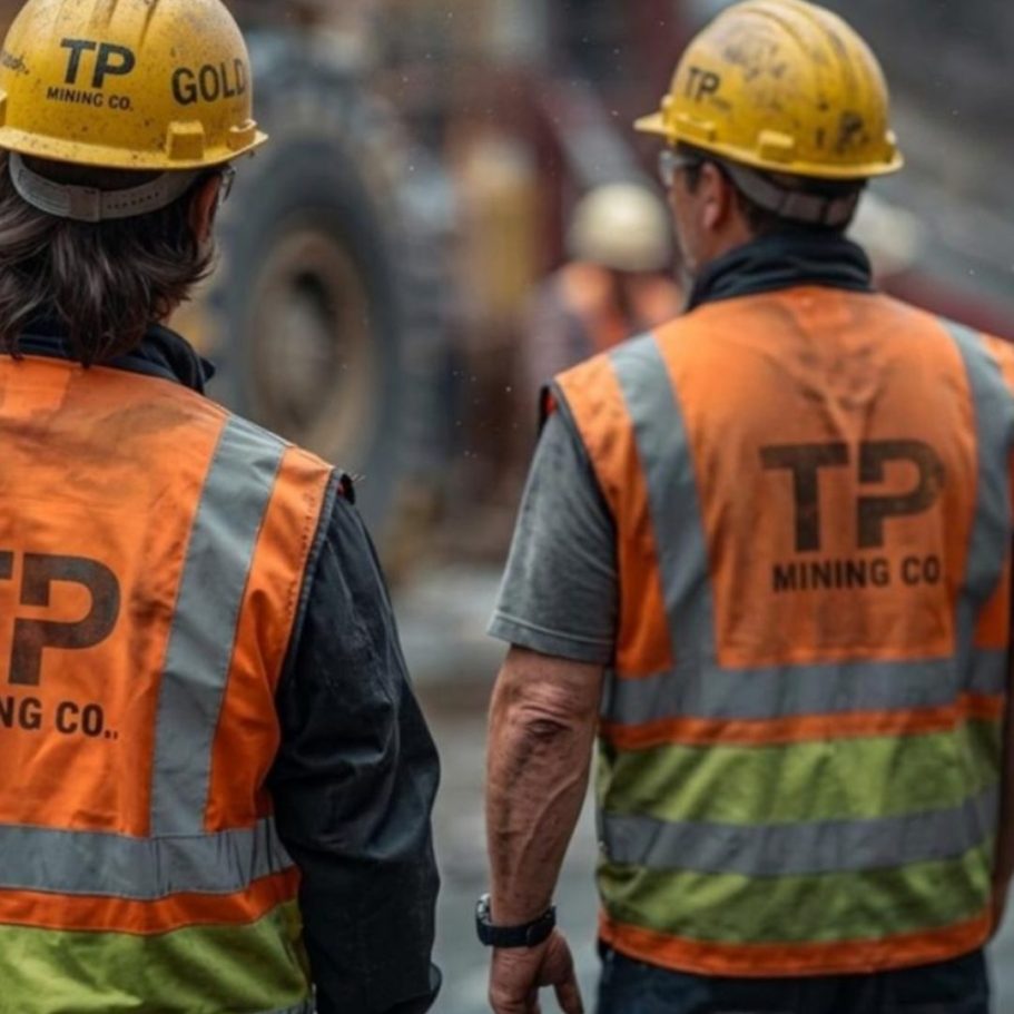


Mitigating risk
Each layer captures a distinct physical phenomenon. Fused together via machine learning, they reveal what no single sensor can see alone. This provides an important initial overview before deploying our exploration team on the ground.